
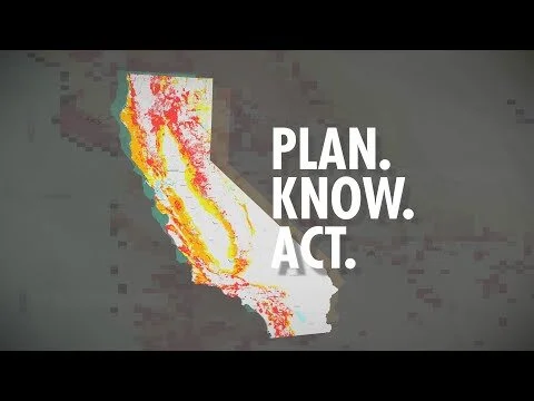
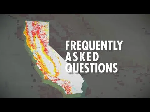
Fire Hazard Severity Zones
Explained
FHSZ
Understand the ratings & boundaries, submitting comments, and what happens next.
How it all got started.
The “Bates Bill” (AB 337), Government Code Section 51175, was prompted by the devastating Oakland Hills Fire of 1991. This mid-1990s legislation calls for CAL FIRE to evaluate fire hazard severity in local responsibility area and to make a recommendation to the local jurisdiction where very high FHSZs exist. The Government Code then provides direction for the local jurisdiction to take appropriate action.
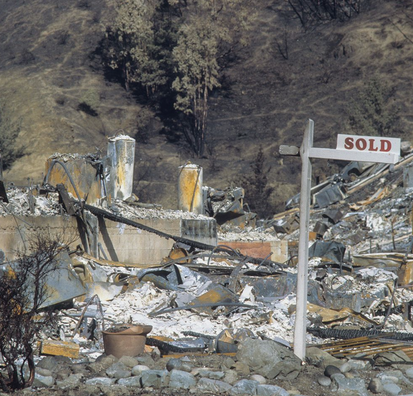
Oakland Firestorm of 1991
Deaths: 25 confirmed
Cost: $3.3 billion in '23 $
Buildings destroyed: 2,843
Total area: 1,520 acres
What is the map for?
The Fire Hazard Severity Zones identify fire hazard, not fire risk.
HAZARD
“Hazard” is based on the physical conditions that give a likelihood that an area will burn over a 30 to 50-year period without considering modifications such as fuel reduction efforts.
RISK
“Risk” is the potential damage a fire can do to the area under existing conditions, including any modifications such as defensible space, irrigation and sprinklers, and ignition resistant building construction which can reduce fire risk. Risk considers the susceptibility of what is being protected.

Fire Hazard Elements Vegetation
FHSZs are not a structure loss model, as key information regarding structure ignition (such as roof type, etc.) is not included.
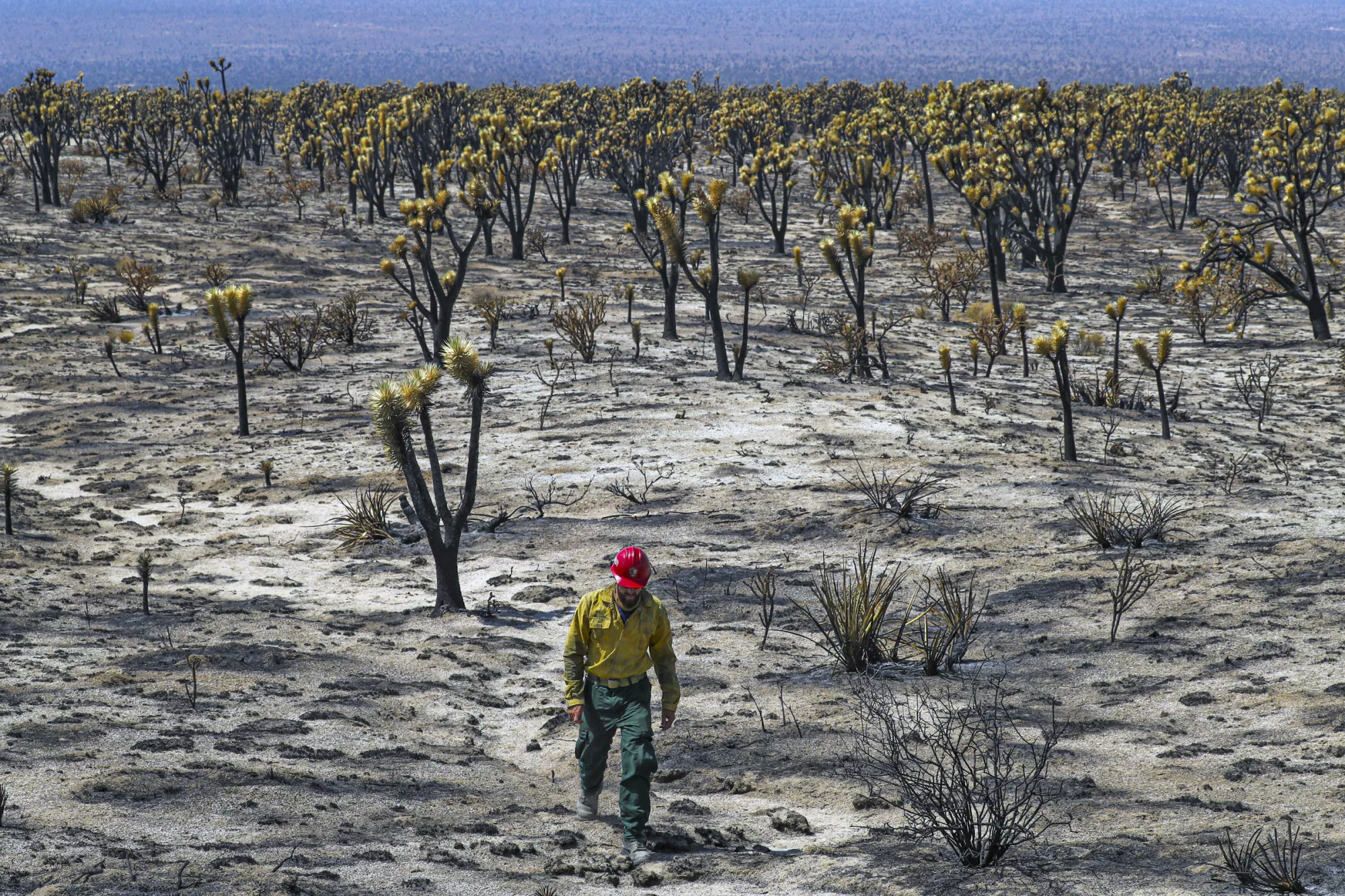
Vegetation - Fire hazard considers the potential vegetation over a 30- to 50-year period. Vegetation is “fuel” to a wildfire and it changes over time.
Topography - Fire typically burns faster up steep slopes.
Weather - Fire moves faster under hot, dry, and windy conditions.
Ember production and movement - Fire brands are embers blown ahead of the main fire. Fire brands spread wildfire and they get into structures and catch the structures on fire.
Likelihood - Chances of an area burning over a 30-to-50-year time period based on history and other factors.
THERE ARE THREE SPECIFIC LAND CLASSIFICATIONS TO IDENTIFY THE AGENCY WITH THE FINANCIAL RESPONSIBILITY FOR PREVENTING AND SUPPRESSING WILDLAND FIRES.
-

State Responsibility Area (SRA)
is primarily the responsibility of the state, or CAL FIRE.
-

Local Responsibly Area (LRA)
is primarily the responsibility of the local jurisdiction, i.e. local fire departments.
-
Federal Responsibility Area (FRA)
is primarily the responsibility of a federal government agency, such as the US Forest Service (USFS) and Bureau of Land Management (BLM).
Mutual aid

is a reciprocal aid agreement between two or more agencies that defines what resources each will provide to the other in response to certain predetermined types of emergencies.
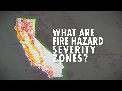
FHSZ
What is a Fire Hazard Severity Zone?
The Fire Hazard Severity Zone (FHSZ) maps are developed using a science-based and field-tested model that assigns a hazard score based on the factors that influence fire likelihood and fire behavior. Many factors are considered such as fire history, existing and potential fuel (natural vegetation), predicted flame length, blowing embers, terrain, and typical fire weather for the area.
There are three levels of hazard in the State Responsibility Areas: moderate, high, and very high.
Fire Hazard Severity Zone Map Changes Webinar

Changes to the state’s fire hazard zones will have major impacts on local land use policies and wildfire management. Areas in both the Fire Hazard Severity Zone State Responsibility Area Map and the soon-to-be-released Local Responsibility Area Map have been recategorized into different severity levels. Join city officials, Cal FIRE, and the California Office of the Insurance Commissioner to learn about the maps’ methodology, as well as their effect on future insurance costs, fire mitigation efforts, planning, and zoning.
Information about how to submit public comment is available on Cal FIRE’s website. The public comment period closes on April 4, 2023.
Moderator:
Alex Hamilton, President, Fire Chiefs Department and Fire Chief, Oxnard
Presenter:
Daniel Berlant, Acting State Fire Marshal, CAL Fire
Jim McDougald, Staff Chief, CAL Fire
Michael Peterson, Deputy Commissioner on Climate and Sustainability, California Department of Insurance
RESPONSIBILITIES OF BEING IN A
SRA
California law requires that homeowners in SRA clear out flammable materials such as brush or vegetation around their buildings to 100 feet (or the property line) to create a defensible space buffer. This helps halt the progress of an approaching wildfire and keeps firefighters safe while they defend your home.
The law also requires new homes to be constructed with fire-resistant materials. By building your home with materials like fire-resistant roofing, enclosed eaves and dual-paned windows, you are hardening your home and giving it a fighting chance to survive a wildfire.
LRA
California has diverse regional climates, and some local government agencies have stricter standards that the State’s minimum requirements. Check with your local fire department or fire protection district for defensible space or weed abatement requirements: SBCFD Office of the Fire Marshal
Requirements from the State for both SRA & LRA

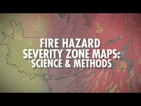
What new data will be included in the new model, and how does this differ from the previous model?
A 2 km grid of climate data covering the years 2003-2018 is being used in the update. The previous model used stock weather inputs across the state to calculate wildland fire intensity scores.
The updated model will adjust fire intensity scores based on the most extreme fire weather at a given location, considering temperature, humidity, and wind speed. In addition, ember transport is being modeled based on local distributions of observed wind speed and direction values instead of using a generic buffer distance for urban areas adjacent to wildlands.
INSURANCE
INSURANCE

Insurance carriers use underwriting guidelines such as:
ISO Ratings
Fire Hydrant Distance
Fire Station Distance
The pool of locally insured
Risk Exposure
Wildfire Hazard Rating
Defensible Space
Vegetative Growth
Slope
Avenues for discounts:
Home Hardening
Defensible Space Clearing
Firewise USA Rating
Fire Safe Council
A message from:
California Department of Insurance
Community Relations & Outreach Branch
Public education about where current wildfire hazards exist is essential to reducing the threat to local communities. When communities know and understand the danger, they can plan and prepare.
We do not expect updating CAL FIRE maps to affect people’s insurance for one simple reason: Insurance companies are already using their own data to make insurance decisions. They are taking a detailed look at the risk to your property, which is not what CAL FIRE’s maps do.
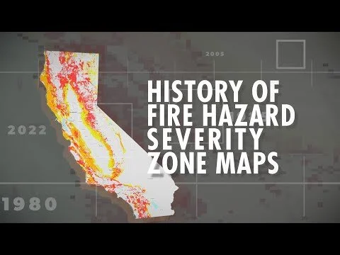
California has a long history of wildfire hazard mapping for public education and safety. California has had Fire Hazard Severity Zone maps since 1985, providing the basis for governments to plan and implement local risk mitigation programs.
We have to make people safer from wildfires – that is how we drive down the cost of insurance and give people the most choices.
We have put together this Q&A – Insurance and CAL FIRE Fire Hazard Severity Zone Maps document: https://osfm.fire.ca.gov/media/u35mu4oy/cdi-fhsz.pdf It can be found on the Office of the State Fire Marshall’s website (towards the bottom of the page): https://osfm.fire.ca.gov/divisions/community-wildfire-preparedness-and-mitigation/wildfire-preparedness/fire-hazard-severity-zones/#fhszfaq
Any residents who receive a non-renewal notice, or excessive rate increase may submit a Request for Assistance (RFA) to the Department of Insurance if they would like for us to look into their specific situation. An RFA may be completed and submitted through our website: https://cdiapps.insurance.ca.gov/CP/login/
For those residents having difficulty finding coverage, here are our Top Ten Tips for Finding Residential Insurance, which may be helpful in finding coverage.
The Department of Insurance (CDI) does not determine which areas are considered High Wildfire Risk Areas. Insurers receive information on risk from private companies. Two of the more common ones are the FireLine Score (ISO) and the Corelogic score. CDI does not have the authority to approve or deny use of these wildfire-risk models.
CDI is responsible for enforcing the California Insurance Code. The California Insurance Code does not prohibit insurance companies from adopting eligibility criteria regarding brush proximity and wildfire exposure, provided that the eligibility criteria, as written, are not unlawful and are not applied in an unfairly discriminatory manner.
For those insurers that are writing insurance coverage for properties located in high fire risk areas, the Department ensures that the rates and premiums that are charged are in compliance with all rating laws.
RESOURCES
Next up: LRA Adoption Process
Slated to begin in Summer 2023
Will be completed County by County including all Local Jurisdictions within each County
60-day notice prior to start of local review process Initial meeting to describe process
Set training dates
60-day local review
FRAP review of comments
Final recommendation submitted to governing body
City / County has 30 days to set public comment and 120 to adopt through ordinance
A local agency may, at its discretion, include areas within the jurisdiction of the local agency, not identified as very high fire hazard severity zones by the State Fire Marshal, as very high fire hazard severity zones
The local agency shall transmit a copy of the adopted ordinance to the State Board of Forestry and Fire Protection within 30 days of adoption